 In the remote plains of northern
In the Turgai region of northern Kazakhstan, archeologists have documented five massive geometric shapes, hundreds of meters across, constructed from mounds of earth, trenches, and rampart structures. Discovered on Google Earth by Dmitriy Dey in 2007, the function of these figures remains a mystery, and their very existence is unknown to most of the world outside the region, according to The New York Times.
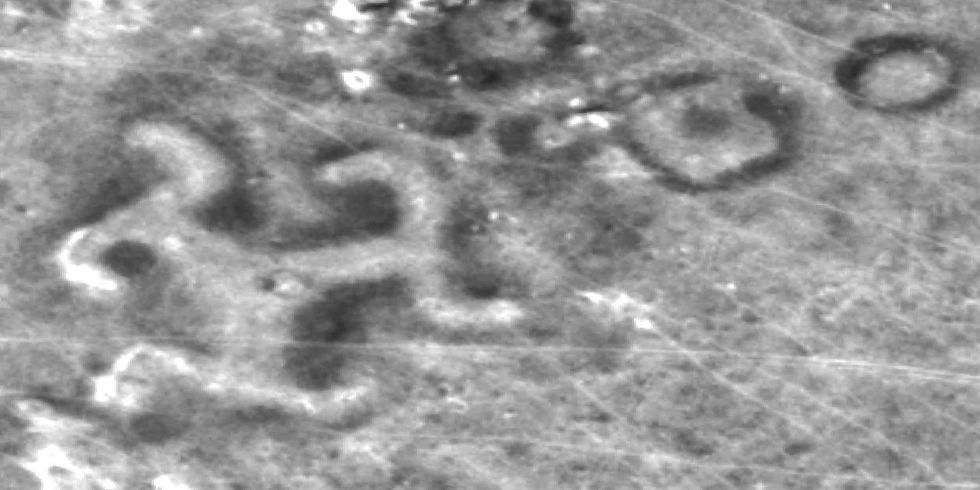
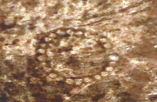
In a major boon to the study of these ancient figures, NASA released satellite images of some of the structures from about
The largest of these structures, nominally dubbed the Steppe Geoglyphs, is a massive square about
In August 2007, Dey and a team of archeologists dug into one of the mounds of Ushtogaysky Square but found nothing. Nearby, however, they discovered Neolithicartifacts from a settlement estimated at 6,000 to 10,000 years old.

These findings suggest that the figures could be associated with the Mahandzhar culture, which existed in the area between 7,000 B.C. and 5,000 B.C. If this is true, it would make the structures the oldest such creations ever found, and force archeologists to significantly reconsider prevailing theories about ancient nomadic cultures.
"The idea that foragers could amass the numbers of people necessary to undertake large-scale projects — like creating the Kazakhstan geoglyphs — has caused archaeologists to deeply rethink the nature and timing of sophisticated large-scale human organization as one that predates settled and civilized societies," Persis B. Clarkson, a University of Winnipeg archaeologist, told the Times.
The earthworks have been compared to the depictions of animals and plants in Peru known as the Nazca Lines geoglyphs. However, some scientists hesitate to call the Kazakhstani structures "geoglyphs" because they seem to have been constructed for a functional purpose rather than an artistic one.
The structures in Kazakhstan were likely intended for use on the ground rather than viewing from above. With no natural vantage points in the area, it would have been extremely difficult or impossible for ancient civilizations to observe their figures from a bird's-eye view. Instead, researchers believe that the structures might have been used to mark the positions of the rising and setting sun.
The true purpose of these magnificent structures is likely to remain a mystery for some time. Other dating techniques estimate the mounds were constructed around 800 B.C., or even as recently as the Middle Ages. But now that the best technology available has piqued the interest of the world, we can expect many more exciting findings to come out of northern Kazakhstan.
Source: nytimes.com
 В Атырау -10